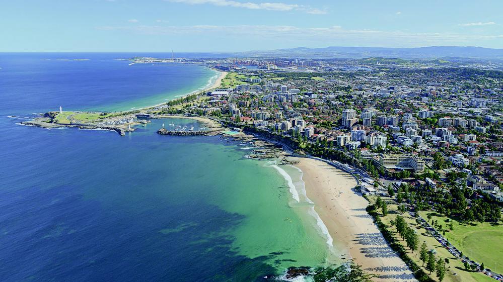
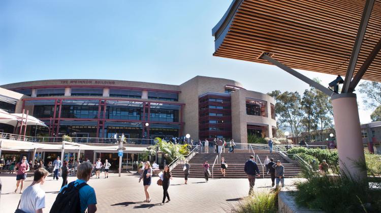
Wollongong is more than just 'Wollongong’.
Wollongong - 10th largest city in Australia.
66 neighbourhoods, map showing Tarrawanna, Towradgi, Keiraville, North Wollongong, Figtree, Wollongong, Coniston, Farmborough Heights, Coniston, Primbee, Mount Keira, Mount Kembla, Kembla Heights, Berkeley, Corrimal, Fairy Meadow, Port Kembla, Windang, Lake Illawarra, Otford, Stanwell Tops, Coalcliff, Scarborough, Wombarra, Thirroul, Bulli, Helensburgh, Woonona, Austinmer, Bellambi, Dapto, Oak Flats, Barrack Heights, Albion Park, Minnamurra, Kiama, Horsley, Albion Park Rail, Shell Cove, Warilla, Shellharbour, Kiama Downs.
Wollongong - 300,000+ residents
Wollongong – 85 minutes from Sydney CBD by train.
Map showing Waterfall, Heathcote, Sutherland, Engadine, Gerringong, Berry. Map showing a 30 minute and 60 minute line.
Transport is cheap and easy.
Transport – Buses connect UOW to surrounding suburbs, including a free city loop shuttle.
Transport – Trains are a short walk or a free bus ride from campus.
Transport – bicycle paths make cycling a great option for getting to UOW.
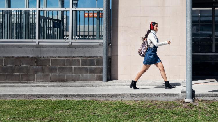
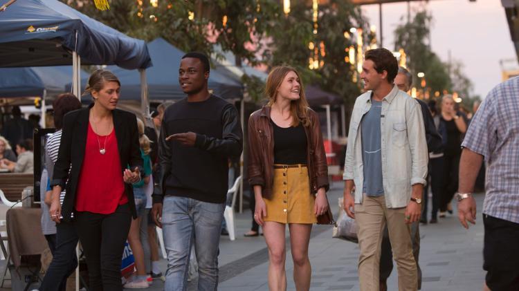
Transport – Walk easily between UOW, Wollongong city and beaches.
Transport – Carpool with two or more friends for free parking at UOW.
Wollongong is more than just 'Wollongong’. Picture slideshow of Wollongong scenery including Sea Cliff Bridge, Stanwell Park Beach, Innovation Campus, Stanwell Tops.


